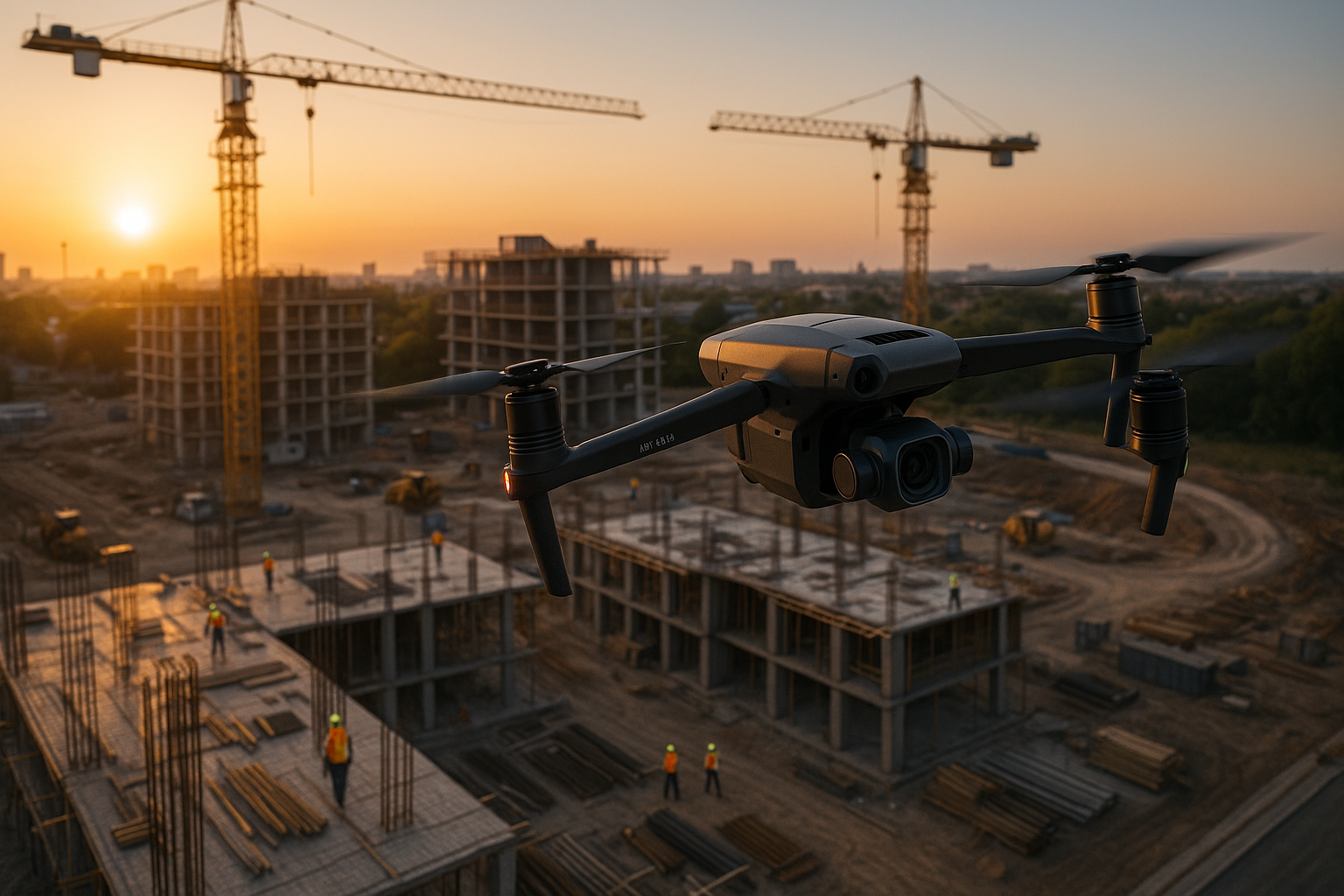
Home Services Our Work About Soon Request a Quote
Construction site aerial survey

Precision Aerial Data for
Construction & Property Management

FAA Part 107 Certified | Austin, Texas

Construction-Focused

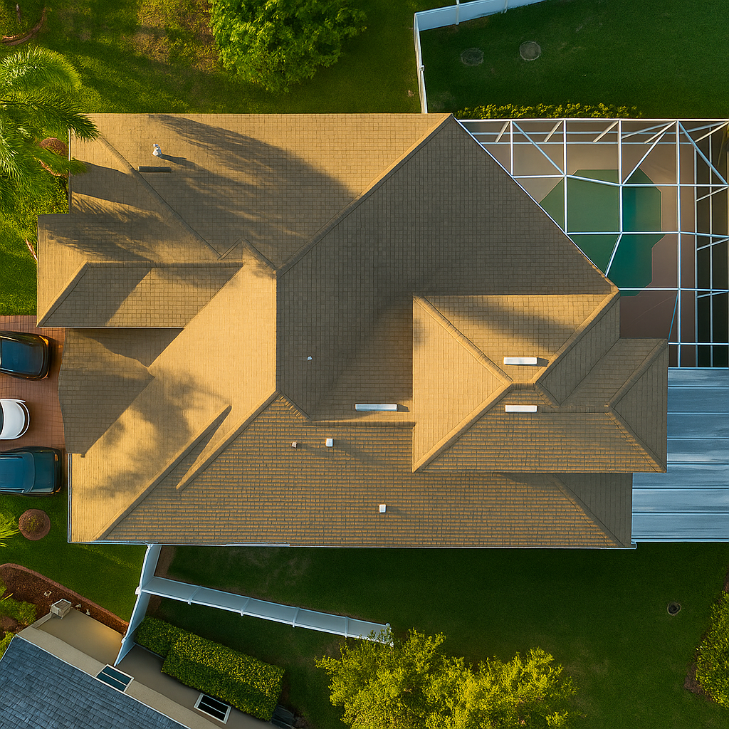
Reliable aerial data for planning, monitoring, and reporting.

Accurate & Consistent

Sharp imagery, repeatable flight paths, clean deliverables.

Professional Turnaround

Fast delivery, contractor-ready files, clear communication.

Our Core Services

Professional drone services tailored for your industry

Aerial Mapping

  • Orthomosaics
  • Elevation modeling
  • Acreage documentation
Starting at $250/acre
Learn More

Construction Progress

  • Weekly / monthly documentation
  • Before/after sets
  • Consistent angles
Starting at $200/project
Learn More

Roof & Exterior Inspection

  • Storm damage
  • Residential + commercial
  • High-res closeups
Starting at $125
Learn More

Real Estate Aerials

  • Property exteriors
  • Lot visuals
  • Clean overheads
Starting at $120
Learn More

Industries We Serve

Construction

Property Management

Real Estate

Solar & Roofing

We support Austin-area professionals with accurate visuals and rapid turnaround.

Our Work

Recent projects from the field

Construction progress documentation

Construction Progress

Weekly aerial documentation

Roof inspection

Roof Inspection

High-resolution structural analysis

Land mapping

Land Mapping

Orthomosaic and elevation data

Property documentation

Property Documentation

Complete exterior assessments

How It Works

Simple, professional process from start to finish

1

Request a Quote

Tell us your job details and location.

2

Drone Capture

We perform clean, safe, Part 107-compliant flights.

3

Delivery

24–72 hour turnaround depending on project size.

Ready for Accurate Aerial Data?

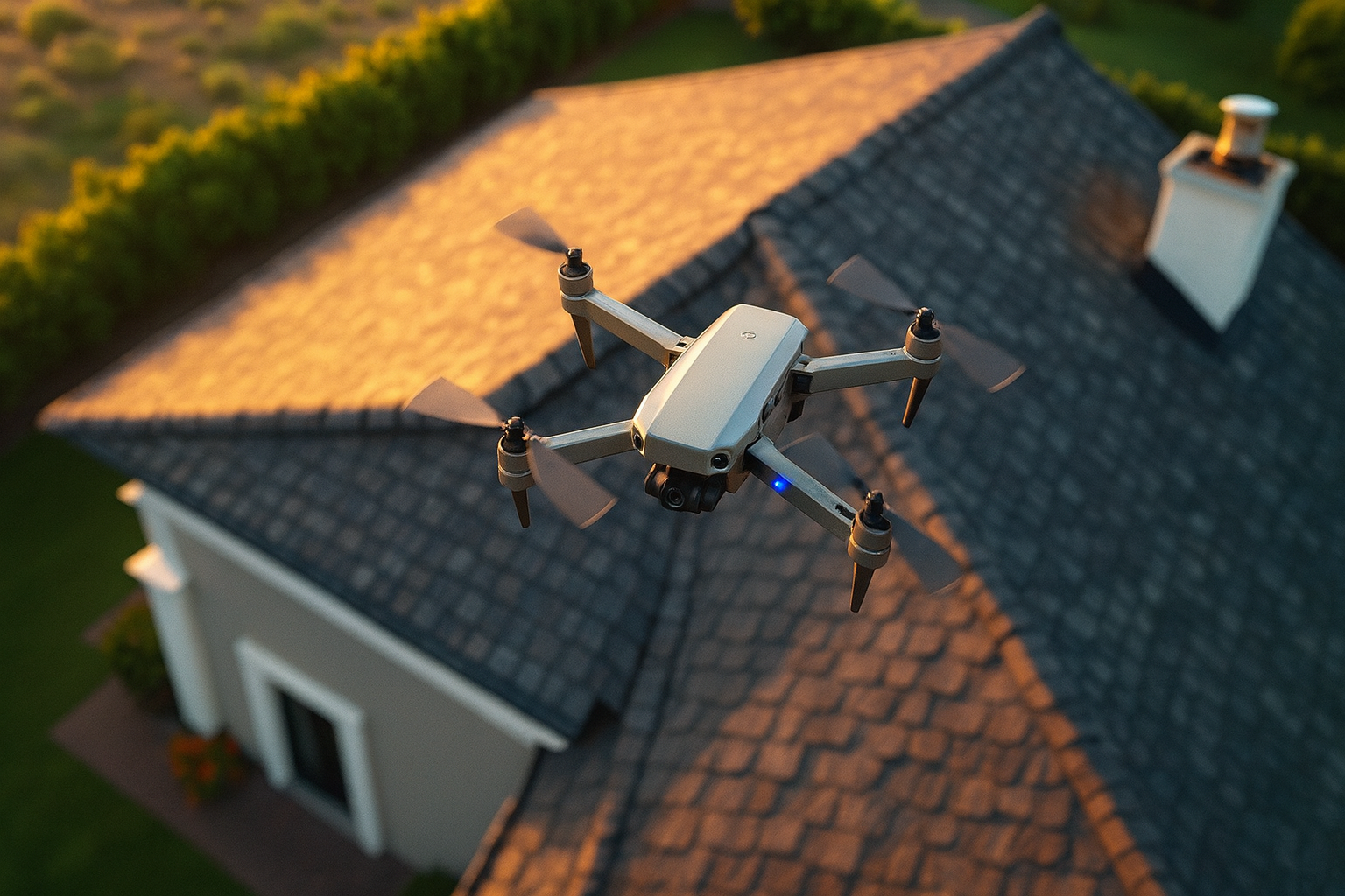
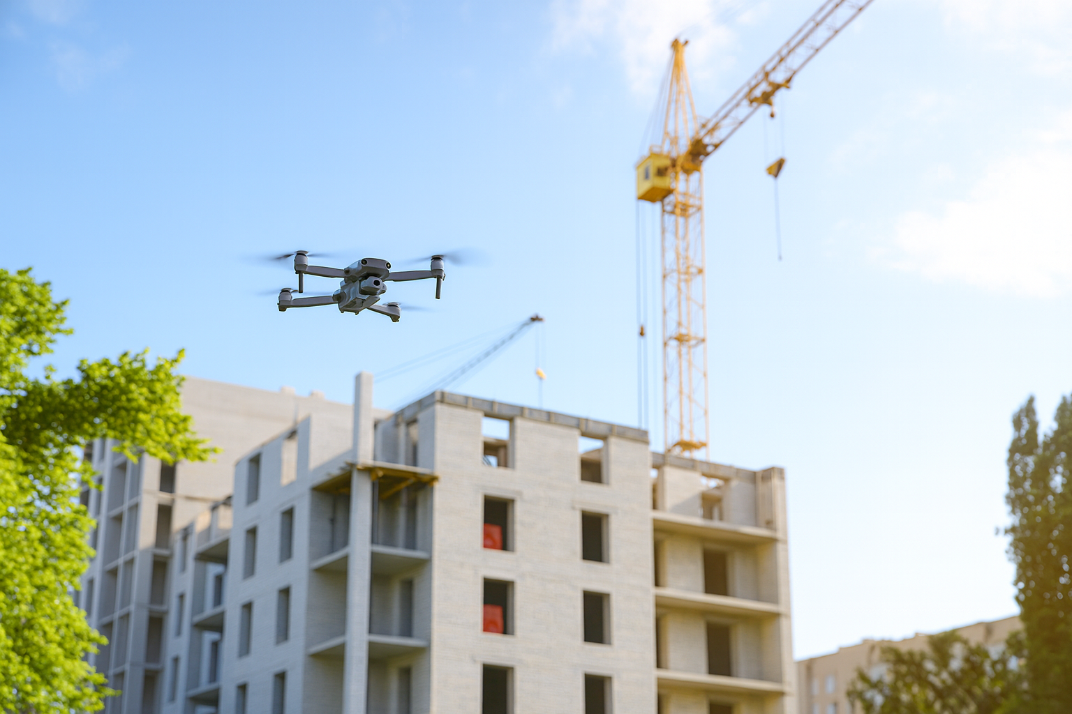
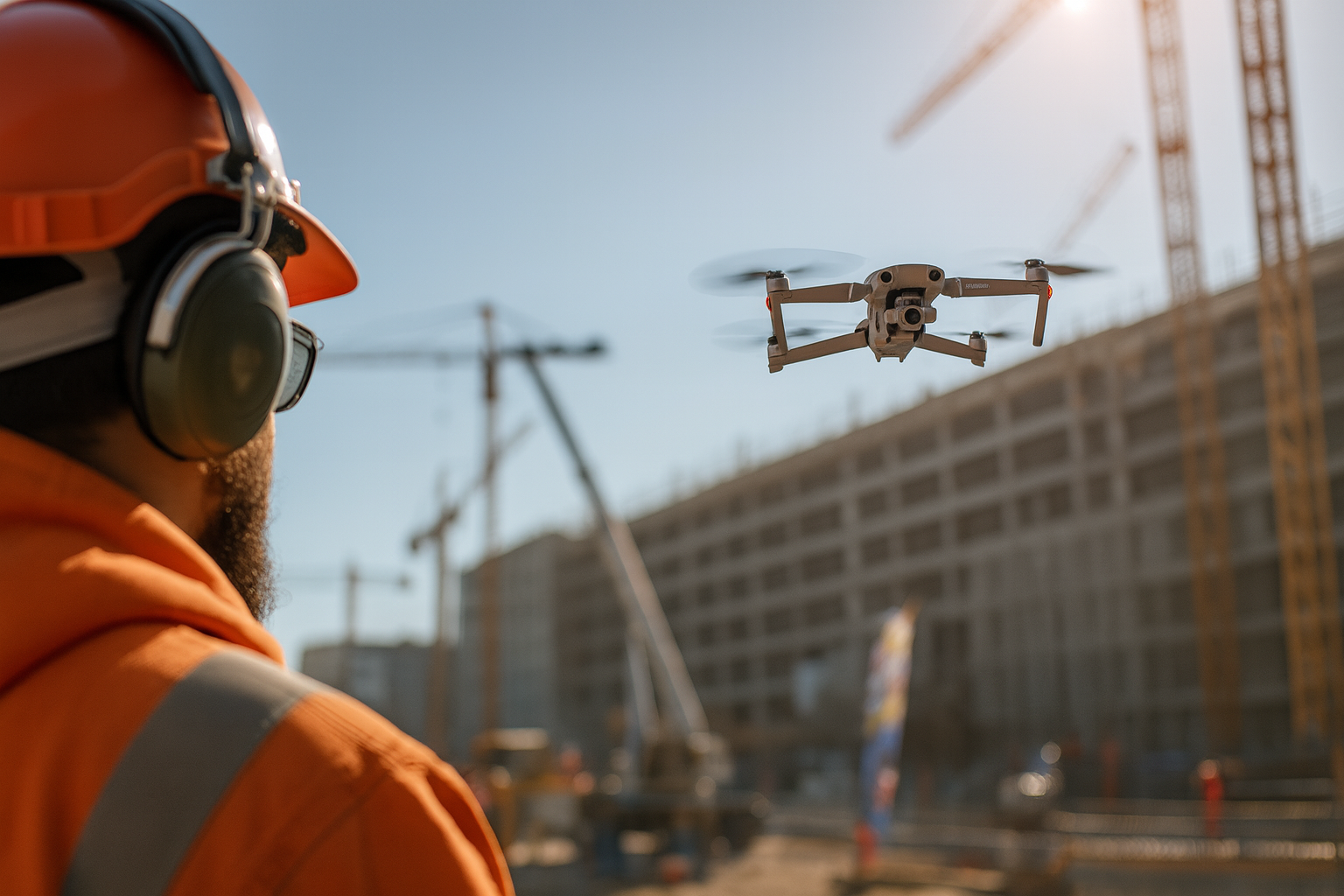
Professional drone services for construction, inspections, and property documentation.

Request a Quote